|
 |
|
 |
 |
 |
 |
 |
 |
 |
 |
 |
 |
 |
 |
 |
 |
 |
 |
 |
 |
 |
|
|
 |
|
 |
 |
 |
 |
 |
 |
 |
 |
 |
 |
|
 |
 |
 |
 |
 |
 |
 |
|
| 1834 Wright's Survey Map of Chicago. Courtesy of the Chicago History Museum. See entire map. |
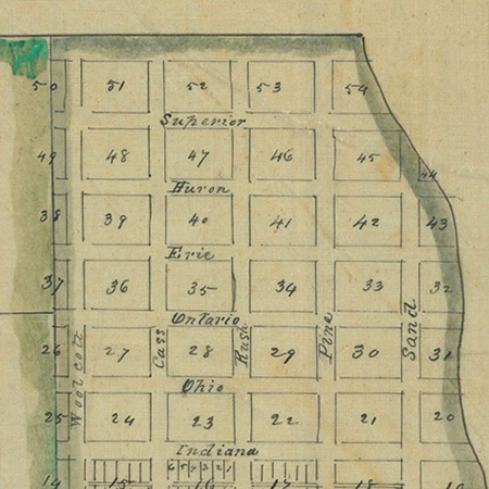
1834 Townsite Plat Map for Chicago, Illinois. Department of the Interior. General Land Office. Surveying Division. Based on Wright's survey map, left. See entire map. |
1836 Map of Chicago and Additions, courtesy of the Chicago History Museum. Kinzie's Addition continues to Chicago Avenue. See entire map. |
1849 |
1857 |
1861 Plat map of Cook County, Cartography, W.L. Flower. Courtesy of the Chicago History Museum. See entire map. |
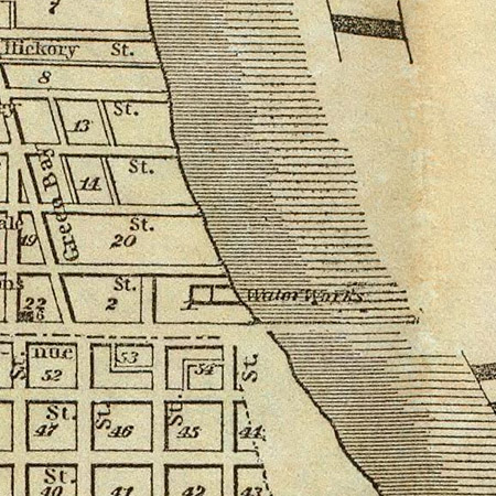
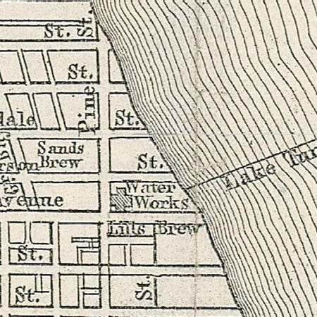
1862 Guide Map of Chicago, Creator: Rufus Blanchard. Courtesy of the Chicago History Museum. See entire map. |
1867 Guide Map of Chicago. 1867. Published By Blanchard & Cram 1868. Courtesy of David Rumsey Historical Map Collection. See Entire map. |
1868 |
1869 |
1870 |
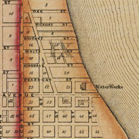
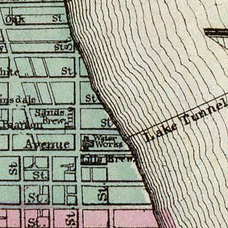
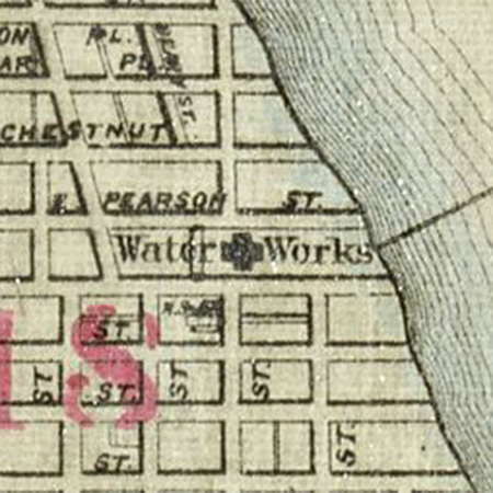
1871 Guide Map of Chicago, Creator: Rufus Blanchard. Courtesy of the Chicago History Museum. See entire map. |
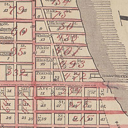
1871 Richard's illustrated and statistical map of the great conflagration in Chicago. St. Louis: R.P. StudleyCo. Courtesy of the University of Chicago Library. See entire map. |
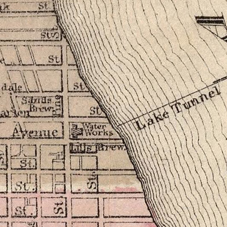
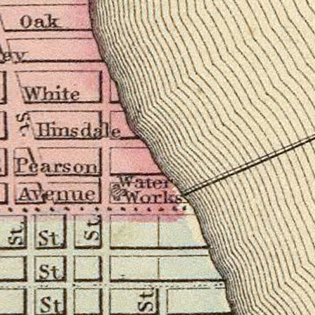
1872 Map of the City of Chicago. Warner & Beers Publishers. Courtesy of David Ramsey Historical Map Collection. See entire map here. |
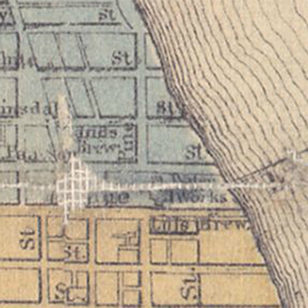
1873 Gray's Atlas of Chicago. Courtesy of the University of Chicago Library. See entire map. |
1875 Warner & Beers, Publisher. See entire map. |
1879 |
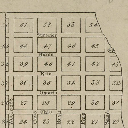
1885 Robinson's Atlas |
1885 |
1886 |
1886 |
1890 Rand McNally & Co's Map of Chicago before the 1893 Worlds Fair using Rand McNallys' Map of Chicago and Suburbs. See entire map. |
1892
|
1892 |
1903 Rand McNally's Chicago railway terminal map. David Rumsey Historical Map Collection. See entire map here. |
1895 |
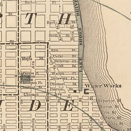
1897 New map of Chicago showing street numbers in even hundreds, Rufus Blanchard. Courtesy of the University of Chicago Library. See entire map. |
1899 |
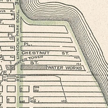
1901 By permission and courtesy of the Chicago Park District Special Collections. |
1903 Hammond's 8x11 Map of Business Portion of Chicago, C.S. Hammond & Co., New York. See entire map here. |
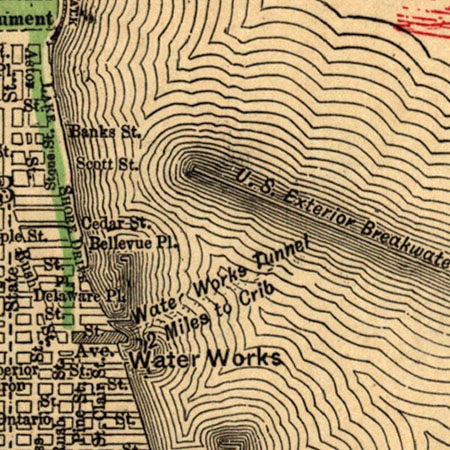
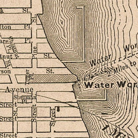
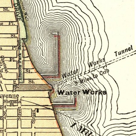
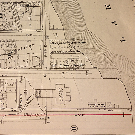
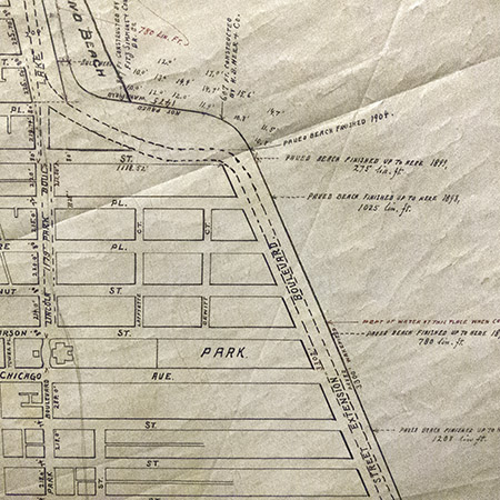
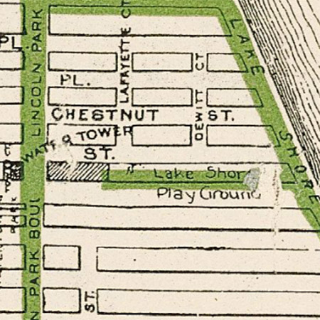
1908 Map of Lincoln Park District: showing present park area, proposed extensions and work under construction. By permission and courtesy of the Chicago Park District Special Collections. |
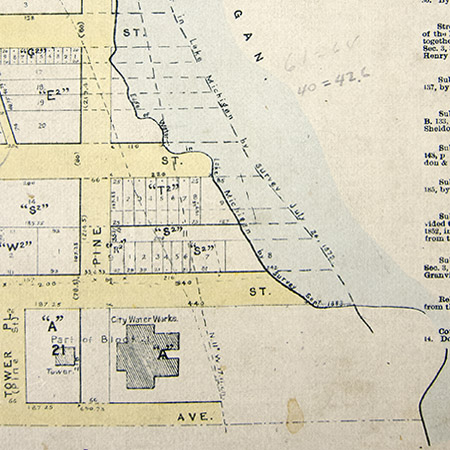
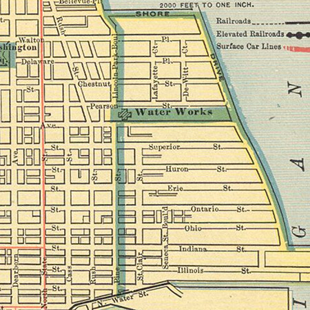
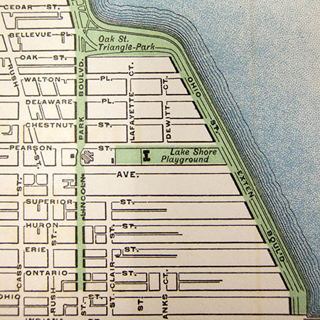
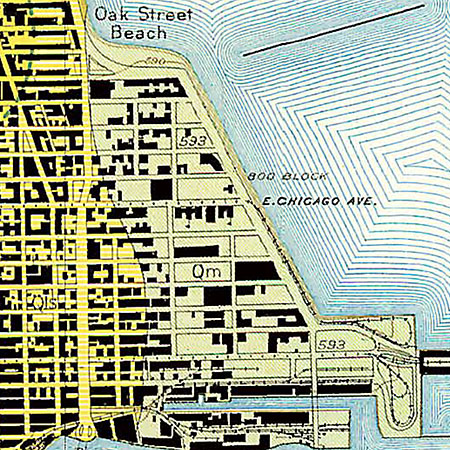
1910 Rand McNally & Co.’s New Street Number Guide Map of Chicago (detail), courtesy of the University of Chicago Library. See entire map. |
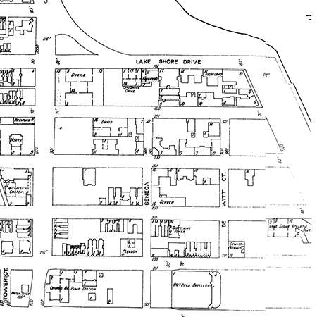
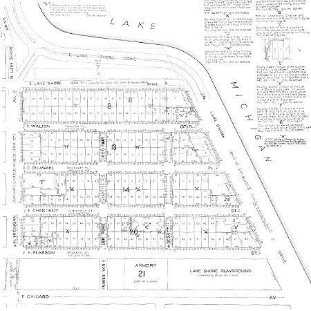
1927 | 1928 Ross & Browne Real Estate Map of Central Chicago. Courtesy of the Chicago History Museum. See entire map. |
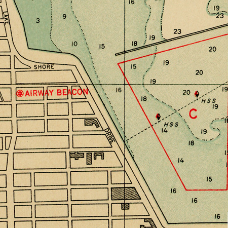
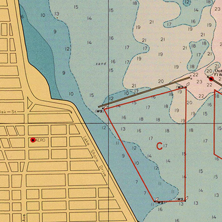
1933 Chicago Harbor. Lake Survey. Courtesy of United States Office of Coast Survey See entire map. |
1939 Surficial Geology of the Loop Quadrangle, by J. Harlen Bretz. Topographic base surveyed in cooperation with the U.S. Geological Survey. State Geological Survey Division. See entire map. |
1950 Chicago Harbor. Lake Survey. Courtesy of United States Office of Coast Survey See entire map. |
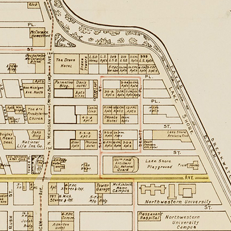
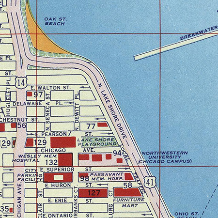
1956 Downtown Chicago. Sightseeing Guide. Shell Oil Company. David Rumsey Historical Map Collection. See entire map here. |
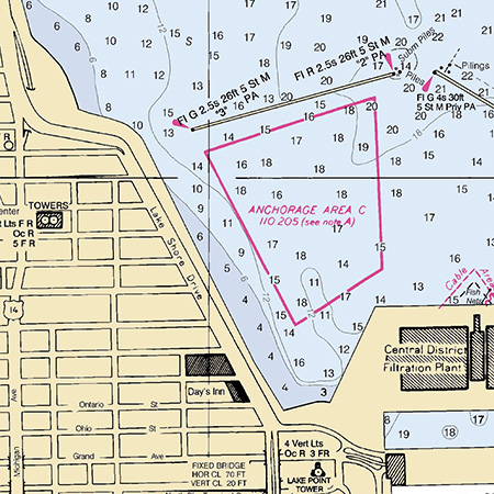
2002 US Department of Commerce, National Oceanic and Atmospheric Administration, National Ocean Service Coast Survey. Washington DC See entire map. |
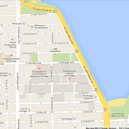
2013 Contemporary GoogleTM Map. See entire map. |
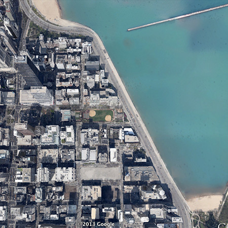
2013 Google EarthTM map |
| Pamela Bannos © 2021 | Scroll to the Right ---->> |
HOME |