|
| QUESTIONABLE LAND CLAIMS |
Struggle for ownership of this lakefront land that did not appear on official surveys began in the 1850s when squatters built makeshift houses on the newly accumulated sandy shores. The area, soon known as "The Sands," became notorious for all forms of vice. In 1857, city officials directed its shacks to be destroyed and cleared the ground that did not "officially" belong to anyone. The following year, real estate holders wanting to distance the area from its named reputation, forged a petition to have the name Sand Street changed to St. Clair Street. See that petition and the resulting ordinance, here.
The irregular shoreline, with its sandy accretions was augmented by intentional filling on one hand, and on the other hand, subtracted by shoreland owners selling the sand for profit. Post Chicago Fire views photographed in 1871 from the top of the Water Tower illustrate the jagged shoreline.
Beginning around the time of the Chicago Fire, the new Lincoln Park Commissioners sought to build a Lake Shore Drive along the water's edge with the intention of connecting Lincoln Park to Pine Street - today's Michigan Avenue. Even before the involvement of Streeterville with the 1890s Lake Shore Drive extension, law suits related to riparian rights established legal precedents. See the Commissioners' struggle with the Catholic Bishop's lakefront cemetery land in my Hidden Truths project, here.
With the assumption that the state of Illinois owned the land at the bottom of Lake Michigan, an 1889 legislative act gave the Lincoln Park Commissioners permission to built their new road. The Commissioners deeded the submerged land west of their planned road to the lakeside land owners who paid $100 per foot to subsidize the building of Lake Shore Drive. This exchange and the act were challenged in the mid-1890s.
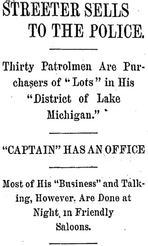
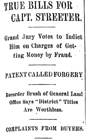
By the end of the 19th, and into the early 20th century, a number of claims were made for the now valuable land. In addition to Cap Streeter's self-proclaimed District of Lake Michigan, from which he sold lots, a group of men laid claim to all land east of St. Clair Street, declaring it vacant and available.
|
In the summer of 1896, eight men filed an application with the U.S. General Land Office stating claim to the land east of St. Clair Street. Arguing the meander line on the 1821 survey as the original Chicago boundary and stating that since there were no laid out streets, they declared the land vacant and unsurveyed public property. The men had acquired a land scrip from the McKee family who were granted land as a result of their ancestor, Colonel William T. McKee who was killed in the 1847 Mexican-American War. See the history and decision related to this public land claim, here.
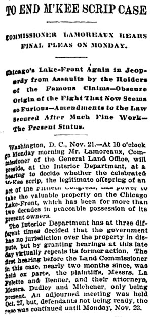
Chicago Daily Tribune, November 22, 1896
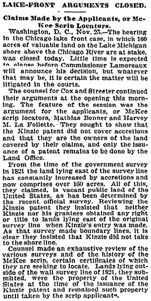
Chicago Daily Tribune, November 26, 1896
Chicago Daily Tribune, April 27, 1897
Chicago Daily Tribune, November 1, 1899
Chicago Daily Tribune, July 13, 1900
|
Chicago Daily Tribune, May 12, 1901:
The land referred to here is at the northwest corner of Lake Shore Drive and Pearson St.
Chicago Daily Tribune, March 28, 1901
Chicago Daily Tribune, February 1, 1902
Chicago Daily Tribune, February 15, 1902
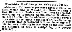
Chicago Daily Tribune, February 15, 1908
Chicago Daily Tribune, February 25, 1909
Chicago Daily Tribune, August 11, 1909
 |
Chicago Daily Tribune, February 27, 1909
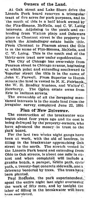
 Chicago Daily Tribune, July 4, 1910
Chicago Daily Tribune, July 6, 1910
Chicago Daily Tribune, July 10, 1910
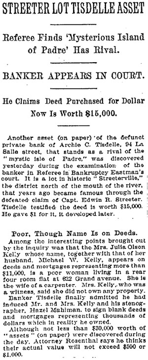
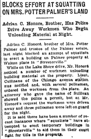
Chicago Daily Tribune, May 30, 1913
 /td>
/td>
|
|