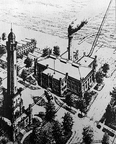
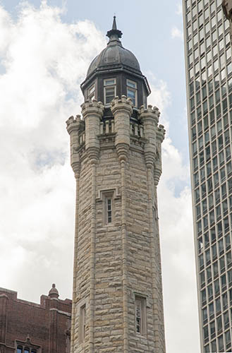
Chicago Daily Tribune, July 26, 1866  The Chicago Avenue Water Tower and Pumping Station compound was designed by William W. Boyington and completed in 1869. the Water Tower's corner stone was laid two years earlier as the culmination of a grand parade. The tower was designed to encase 138-foot tall standpipe that regulated pressure as the pumping station's engine drew in fresh water from the 2-mile crib. As detailed in the Developing Landscape section, and as seen in the images to the right, the space between the tower and the pumping station was originally designed to feature a fountain and the two structures were landscaped and fenced together as a compound. Pine Street (today's Michigan Avenue) was re-routed to the west of the tower, and then eventually the space was widened along with the expansion of Michigan Avenue in the 1920s. |
 The proximity of the pumping station to the Lake Michigan shoreline is evident in this representation of the site from the 1860s that includes a rendering of the tunnel as a visible trajectory leading to the two-mile crib. |
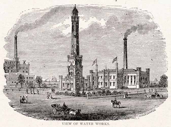
 This 1860s idealized rendering of the site that would become Block 21 includes the Sand's Brewery north of the Chicago Water Works. |
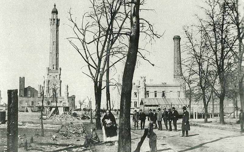 This image, which is half of a 3D stereograph photograph, shows the surviving stone structures within days of what became known as the Great Chicago Fire that destroyed much of the city. Photographer: John Corbutt |
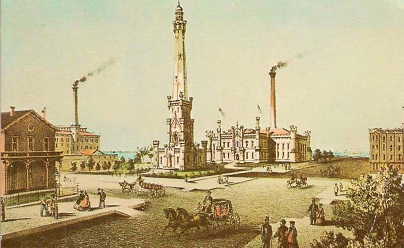
 In this idealized rendering of the water works site from the 1873 "Strangers Guide to Chicago", the pumping station and the water tower form a fenced off and landscaped area. The view is from near today's southwest corner of Michigan and Chicago Avenues. The Sand's Brewery is pictured left, at the northeast corner of Pearson and Pine Streets. |
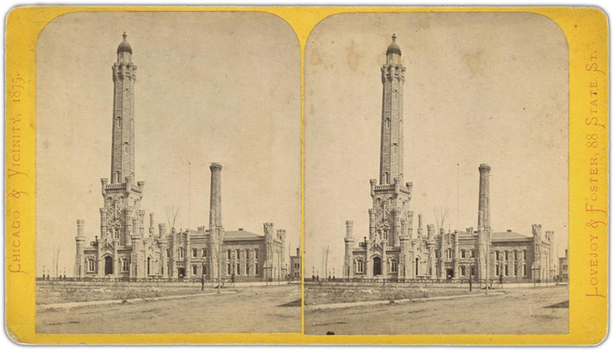 An 1875 stereograph by Lovejoy & Foster showing the water works looking east from Chicago Avenue. When inserted into a stereo viewer- a device with prism lenses that duplicate the effect of depth perception - the two images combine to form a three-dimentional effect. In the two years since the 1871 Chicago Fire, the surrounding landscape has been cleared of ruins and debris, and new trees have been planted. |
 While typically shown together, this 1875 print shows the Water Tower without the pumping station. The tower became a symbol of the resilience of Chicago. |
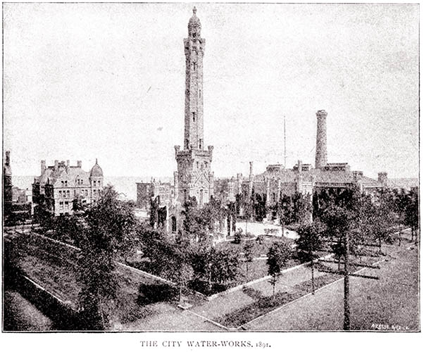 With the telegraph pole in the right foreground and the mansion at the left, this 1891 photographic representation of the City Water Works illustrates the development of the area north of Chicago Avenue towards today's Oak Street Beach. While the shoreline still lay near the foot of the pumping station, the land to the north was being filled by new property holders. |
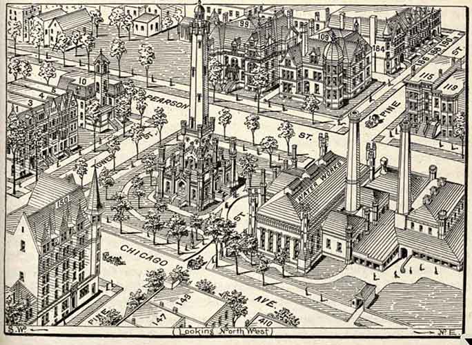 Looking northwest from an aerial position near today's Northwestern University Law School, this detailed drawing from 1893's Rand McNally's "Bird's Eyes Views and Guide to Chicago" shows further development and the early road layout. Pine Street would soon connect to Lincoln Park at North Avenue by way of the new Lake Shore Drive. The mapped and surveyed Block 21 originally extended to Tower Street. Lincoln Park Boulevard, which would become Michigan Avenue, eventually expanded the gap between the water works buildings. |
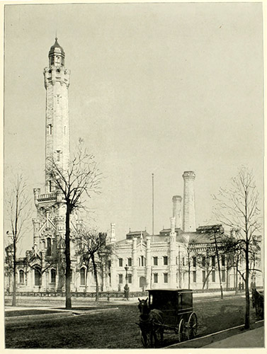 In this 1896 Rand McNally guidebook photograph, the water works still appear as a single site. |
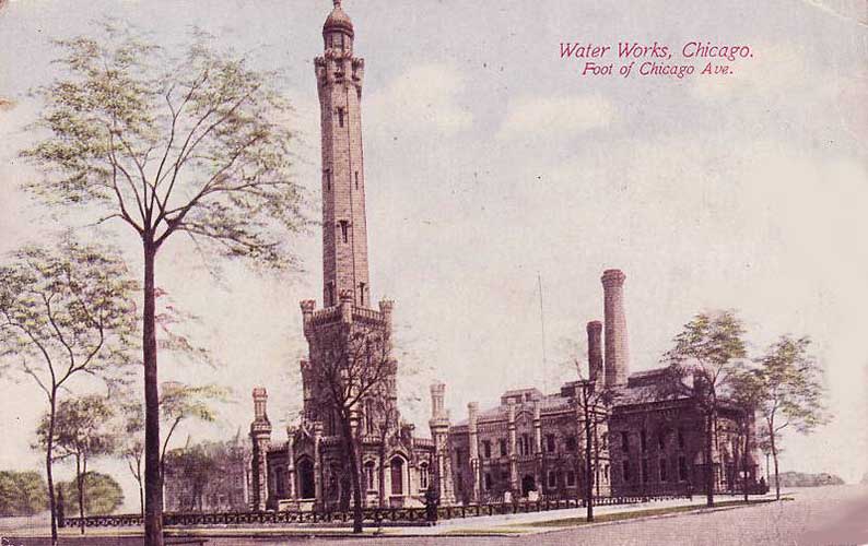 Courtesy of Chuckman's collection of Chicago postcards. Early on, in what would become a popular tourist destination, the Water Works appeared as post card views. In this 1900 card, the background appears retouched with the elimination the surrounding real estate. The front copy points out that the water works, at the foot of Chicago Avenue, remains on the lakeshore. Streeterville, with its developing landfill was in its infancy. |
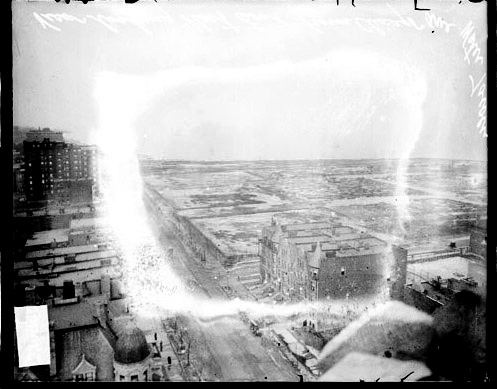 Courtesy of the Chicago History Museum. Courtesy of the Chicago History Museum.This 1910 view from the top of the Water Tower shows the still-barren landfill of the developing Streeterville neighborhood. (The negative's glass plate emulsion is damaged.) The large building in the foreground stands on the site of today's John Hancock Center. |
Chicago Daily Tribune, March 3, 1926 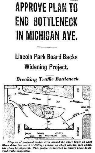 With the advent of automobile traffic, there was need for a thoroughfare from Lincoln Park via the new Lake Shore Drive. This design routes southbound traffic west of the Water Tower, and northbound traffic between the tower and its pumping station. |
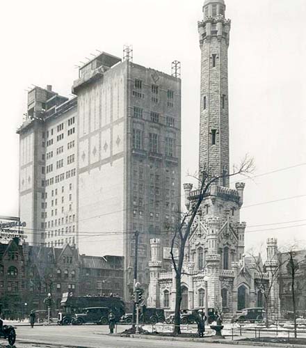 1926 The remaining views show the evolving landscape surrounding the Water Tower and Pumping Station, which appeared as a centuries old architectural representation even when it was new. |
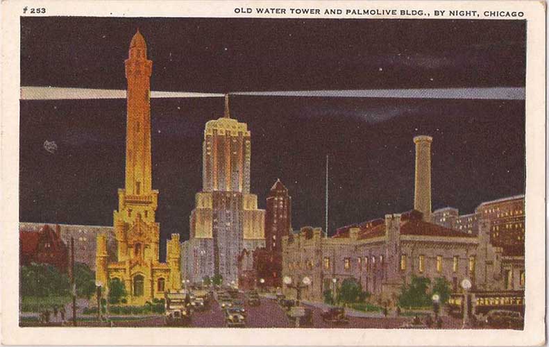 1930s |
 Courtesy of Chuckman's collection of Chicago postcards. 1930s |
 1930s |
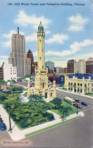
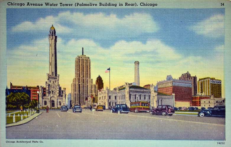
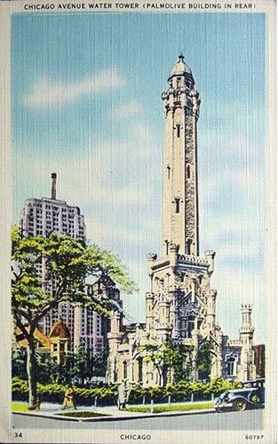 1930s |
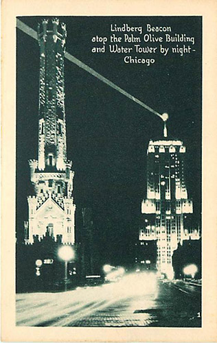
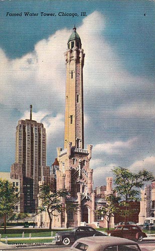
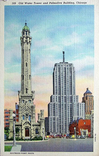 1930s |
|
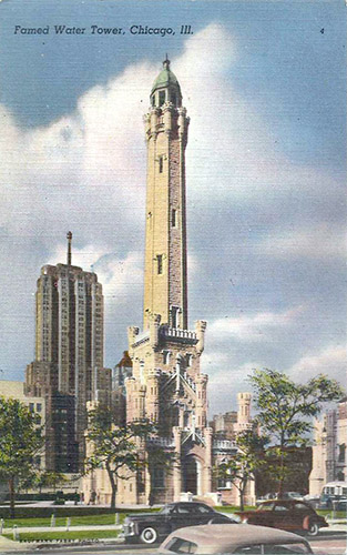 1940s |
|
 Courtesy of Chuckman's collection of Chicago postcards. Courtesy of Chuckman's collection of Chicago postcards.1950 |
 Courtesy of Chuckman's collection of Chicago postcards. 1950s |
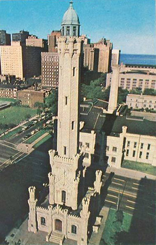
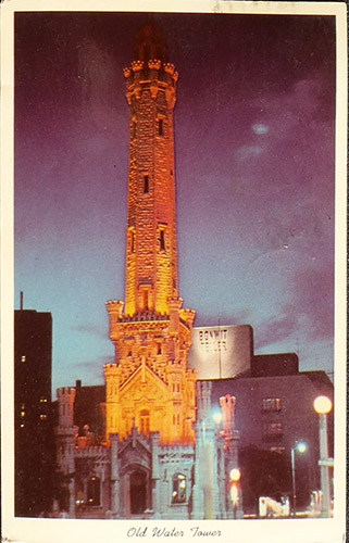
 1959 |
 1960s |
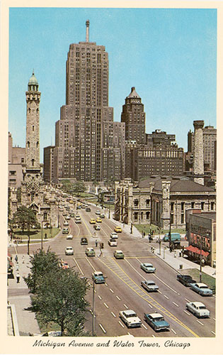
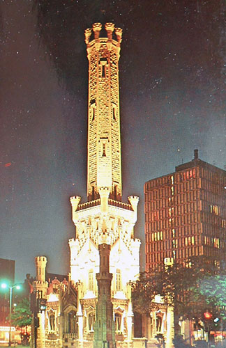 1964 |
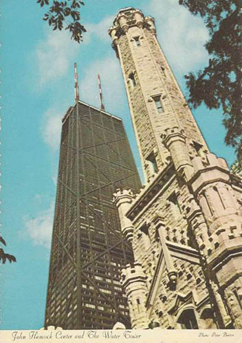
 1967 |
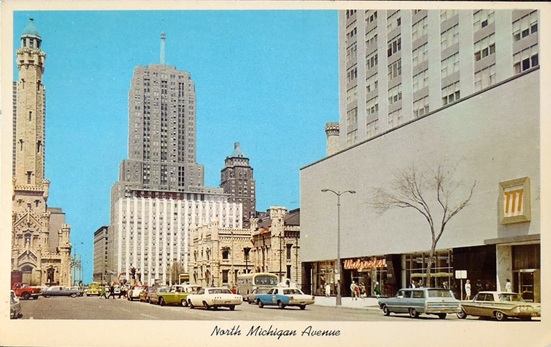 1967 |
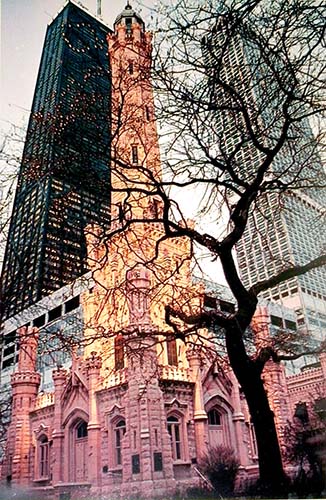
 1970s |
 1970s |
 Courtesy of Chuckman's collection of Chicago postcards. 1970s |
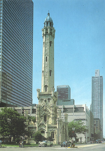
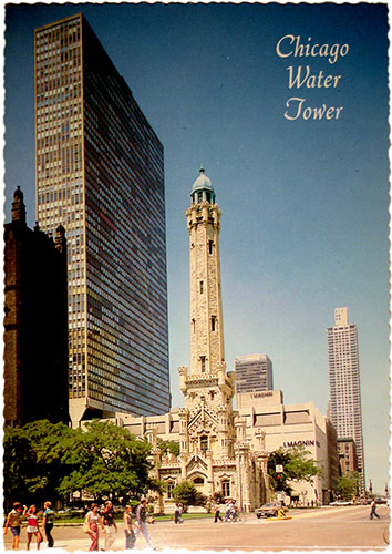
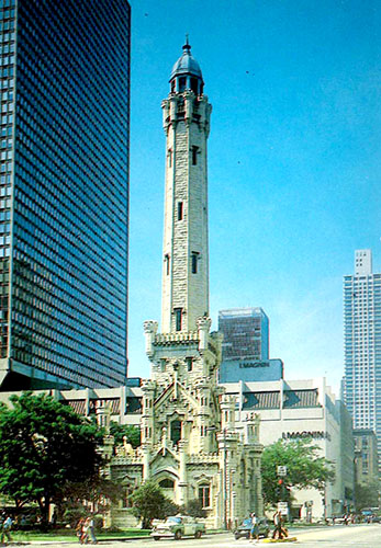
 Courtesy of Chuckman's collection of Chicago postcards. 1974 |
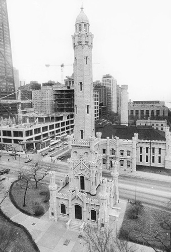
 1980s |
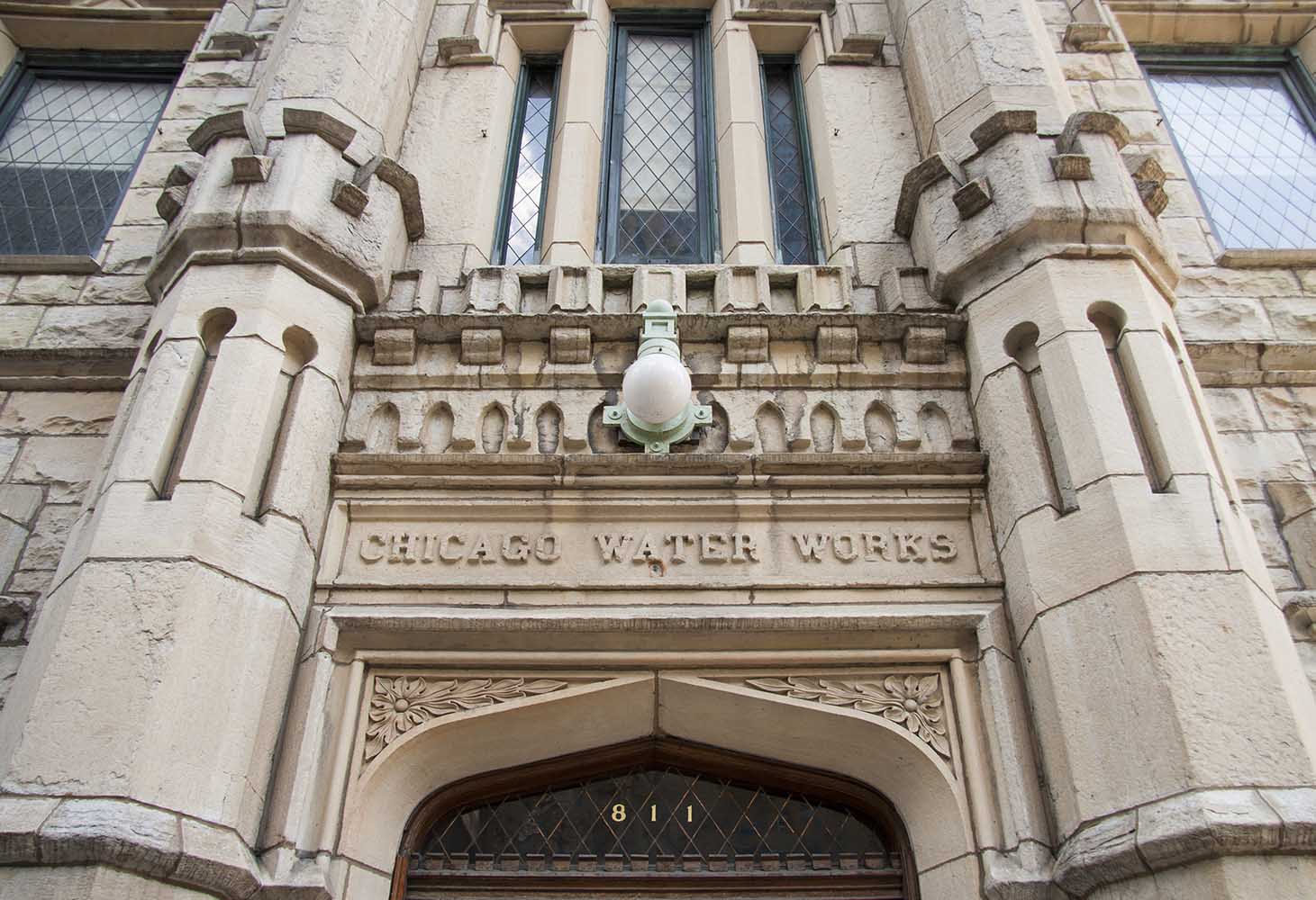
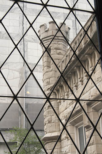 August 2013 |
 August 2013 |
 August 2013 |
|